Napa Photography Spots: Six Public Places to Explore
Explore six public Napa photography locations, with official access information, composition ideas and practical tips for planning a camera outing.
Napa photography can include oak woodland, river habitat, historic machinery and the lines of a walking trail as well as vineyards. These six places offer specific starting points for planning a day with a camera. The location notes below draw on official park and trail information reviewed on September 23, 2026; the composition ideas are suggestions for your own visit.
1. Westwood Hills Park: oaks and elevated views
The City of Napa describes Westwood Hills as a 111-acre park with three miles of trails through oak groves and meadows, with views over the city. Its entrance is at 3107 Browns Valley Road, and its posted hours are sunrise to sunset. Use the city's park page and trail map to plan your route.
Try framing a distant view with an oak branch, or make a tighter composition from bark and shadows. Choose a position on an established trail and leave room for people to pass. An elevated view does not require stepping over a fence or entering a neighboring vineyard.
2. Alston Park: open-space compositions
Alston Park provides 157 acres of open space with walking, hiking and other shared recreational uses. The City of Napa's trail guide also identifies designated on- and off-leash dog areas.
For a simple composition exercise, photograph the same scene once with a wide field of view and once with a tighter frame. Compare how much foreground each image needs. Keep equipment clear of the trail, watch for other users and check the posted rules for the section you enter.
3. Oxbow Preserve: Napa River habitat
Oxbow Preserve is a 12.7-acre natural area along the Napa River, described in the city's hiking guide. It offers a river-focused subject to pair with an open-space or woodland stop.
Look for shapes and reflections from an established viewing position. A reflection depends on the water and wind when you arrive, so have a second composition in mind if the surface is disturbed. Stay back from the water's edge and photograph wildlife from a distance.
4. Bothe-Napa Valley State Park: woodland and creekside detail
Bothe-Napa Valley State Park has shaded redwood woodland, ferns and creekside trails. The park operator publishes trail information, day-use details and current notices on its website. Check those before setting out, including restrictions if you are bringing a dog.
In a wooded scene, try excluding a bright sky and concentrating on a trunk, fern or patch of reflected light. Check your shutter speed before photographing leaves moving in a breeze. Creek flow and trail conditions vary; a photograph of water is an opportunity to assess on arrival, not a guaranteed feature of an itinerary.
5. Bale Grist Mill: a defined historic subject
Bale Grist Mill State Historic Park gives the agricultural-history theme a specific, publicly interpreted setting. The mill dates to 1846. The operator currently lists Saturday and Sunday opening hours of 10 a.m. to 4 p.m.; confirm the schedule, admission information and any closures before traveling.
Work with the shapes of the building and visible machinery from areas open to visitors. A wider frame can establish the setting, while a detail can concentrate on texture. Follow staff directions and barriers. Plan around the mill's opening hours rather than assuming access at sunrise.
6. The Vine Trail between Napa and Yountville
The Napa Valley Vine Trail Coalition lists Napa to Yountville as a completed section, passing through the Rail Arts District and Oak Knoll. Its current map distinguishes completed segments from the rest of the planned network; check the segment you intend to use.
The path itself can provide a line through a composition. Pause where you can keep the route clear, and photograph only from places you may lawfully access. A public trail beside agricultural land does not make the adjacent vines or railway a public photography area.
Plan for light within opening hours
Low sunlight can bring out texture and create longer shadows. Nikon's sunrise and sunset photography guidance discusses using a tripod for slower exposures and a telephoto lens to isolate part of a landscape. Pick equipment you can carry comfortably and use without obstructing others.
Start with one main subject and check the edges of the frame for distractions. Review a test image for blur and lost highlight detail, then adjust exposure or framing. There is no single aperture, focusing distance or time of day that guarantees a sharp landscape. Build the outing around the light and access available on the day, without depending on fog, flowers or an empty trail.
Access and a practical route
Check each site's official notices and weather forecast before leaving. Bring water, suitable footwear and a downloaded map. Use designated parking, stay on established routes and avoid entering barns, private farms or fenced land to reach a composition. Ask a winery directly about access before including its grounds in your plans.
California State Parks distinguishes ordinary personal photography from commercial and other shoots that may need permits. Its photography guidance requires personal photography to respect normal opening hours, other visitors and natural or cultural features. Check with the park about a planned professional shoot instead of assuming ordinary admission covers it.
Choose a small group of stops rather than attempting all six. Westwood Hills, Alston and Oxbow offer city-area options; Bothe and Bale Grist Mill suit a separate up-valley outing. Use the official maps to judge the route and walking involved. Continue planning with the Napa Valley article collection and Wine Country Corner trip-planning guide.
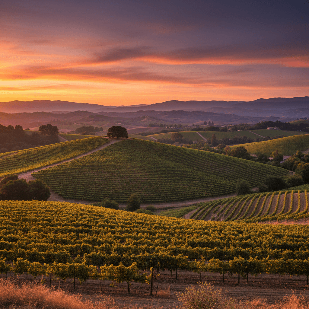
Image note: the vineyard landscape retained from this article's image archive is illustrative. Its exact location and photographer are unverified; it is not presented as a photograph of one of the six locations above.
Related reading
Things to Do in Napa Valley: A Region-by-Region Guide
Best Views in Napa and Sonoma: Where to Taste Above the Valley